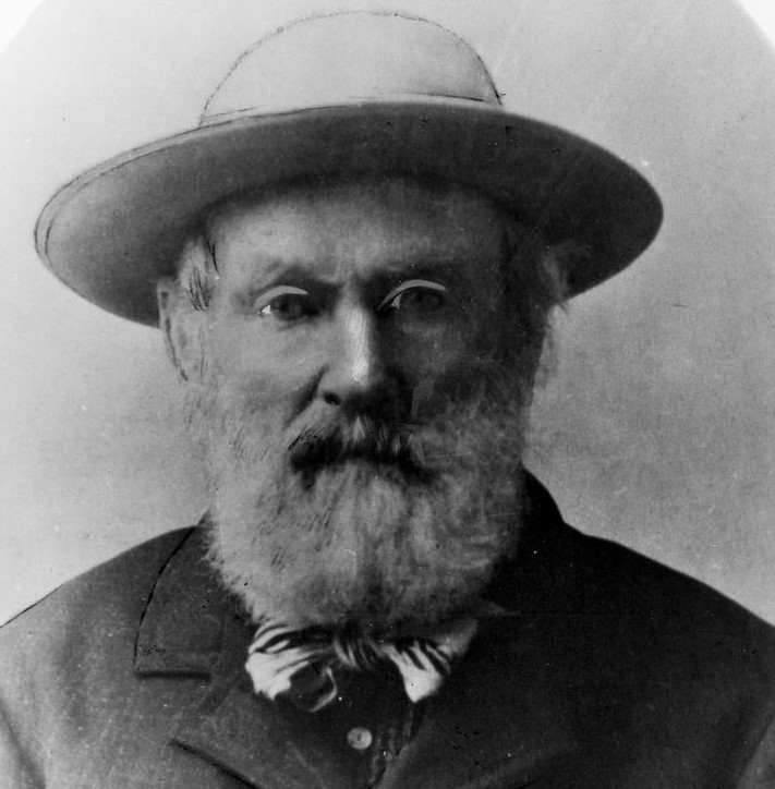
Barkerville is situated in central British Columbia, Canada, and was the centre of the historic Barkerville-Cariboo gold rush starting in 1860. The Cariboo gold rush was inspired by the hard work of William Barker who began prospecting for gold on Williams Creek in 1861. Billy was the driving force behind the Barker mining company and was responsible for staking claims in the Barkerville area. After many unsuccessful prospecting programs in the area, he decided to try mining in the lower section of Williams Creek believing placer gold would flow deep below the canyon on Williams Creek.
During August of 1863, his strategy paid off. The Barker mining company struck gold big time. The company produced 124 ounces within 10 hours! The discovery is recognized as the most successful event of the Cariboo Gold Rush changing the history of British Columbia, attracting people to Barkerville from across Canada, California, China and other parts of the world and led to the creation of Barkerville and many other surrounding mining towns. Since then, the estimated production of gold from 1861-1987 is reported to be more than 5,000,000 ounces including 3,800,000 ounces from placer operations and 1,230,000 ounces from lode mining.
In November of 2019, Osisko Gold Royalties (TSX & NYSE: OR) acquired Barkerville Gold Mines (formerly TSX.V:
BGM), who had acquired a significant land package (1,177 square kilometres) in the Barkerville-Cariboo gold camp and was the principal property holder in the district before the acquisition. During October 2020 Osisko Gold Royalties acquired a TSX.V company through a reverse takeover to form Osisko Development Corp. (TSX.V: ODV), which will undertake the development of the Barkerville-Cariboo Gold project under ODV’s wholly owned subsidiary Barkerville Gold Mines.
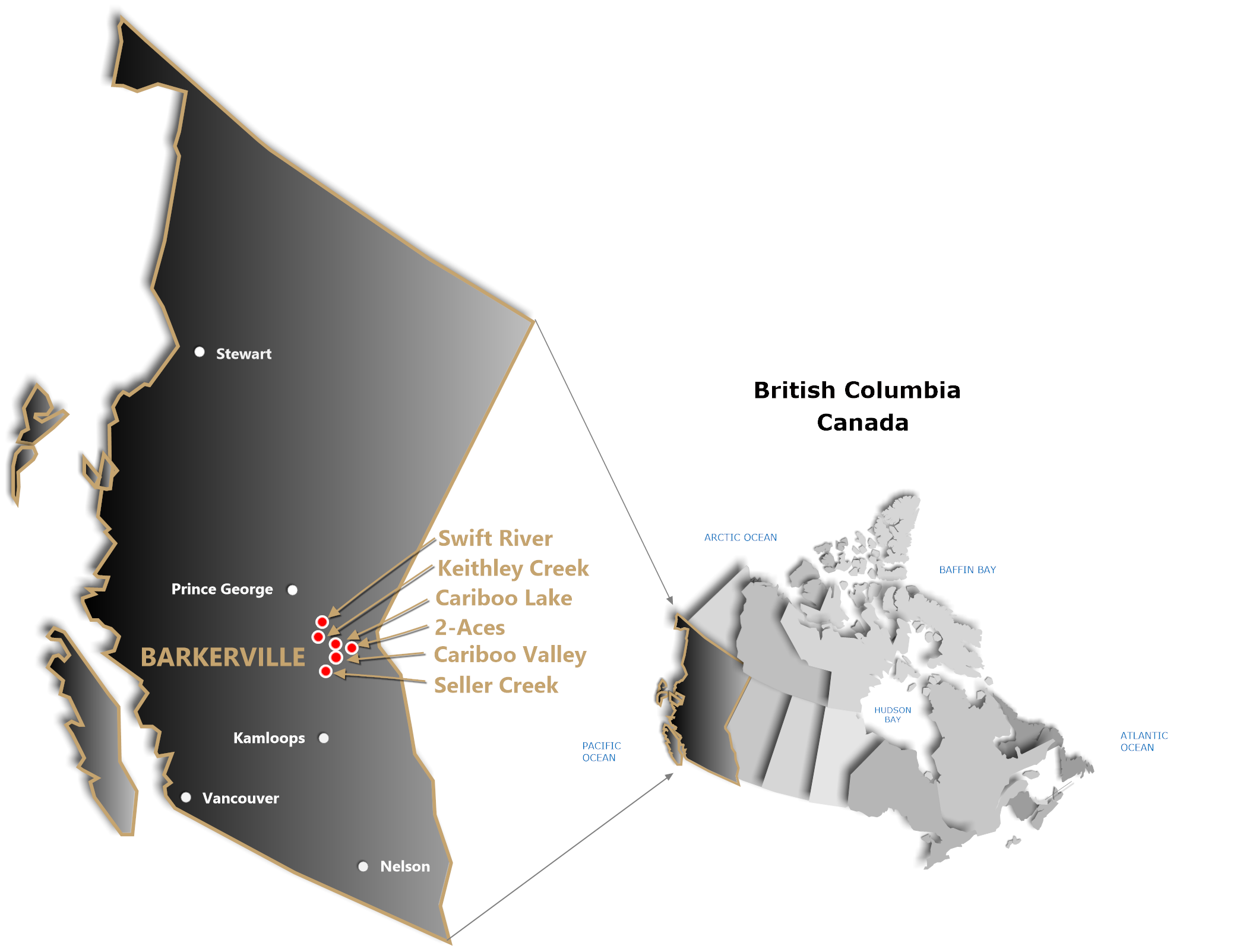
HAWKEYE owns 100% interests in six Barkerville gold, silver, copper, lead and zinc projects that are strategically located in the historical Barkerville-Cariboo terrane and are situated in similar geological settings as Barkerville Gold Mines discoveries in the region. HAWKEYE’s Barkerville projects total 20,831.61 hectares and are not subject to net smelter royalties. The properties are located roughly in the centre between the northern Barkerville-Cariboo district controlled by BGM and the new southern Barkerville-Cariboo district where a total of 1,000 square kilometers of mineral claims have recently been staked thereby significantly increasing the land size of the Barkerville-Cariboo gold camp.
Legendary mining financier, Mr. Eric Sprott, who owned controlling interest in Barkerville Gold Mines prior to Osisko’s acquisition of BGM in 2019, recently made a controlling interest investment in the newly staked southern Barkerville Cariboo land package.
With the recent developments of Osisko and staking in the new southern district of the Barkerville-Cariboo gold camp, this has refueled renewed investor interest in the region and should turn the -Barkerville-Cariboo gold district back into a world-class area play, increasing availability of financings for junior explorers in the area and ultimately leading to potential new discoveries and increased shareholder value.
For further information relating to HAWKEYE’s Barkerville properties click on the “Properties” link in the header above or any of the property links in the sidebar to the right.